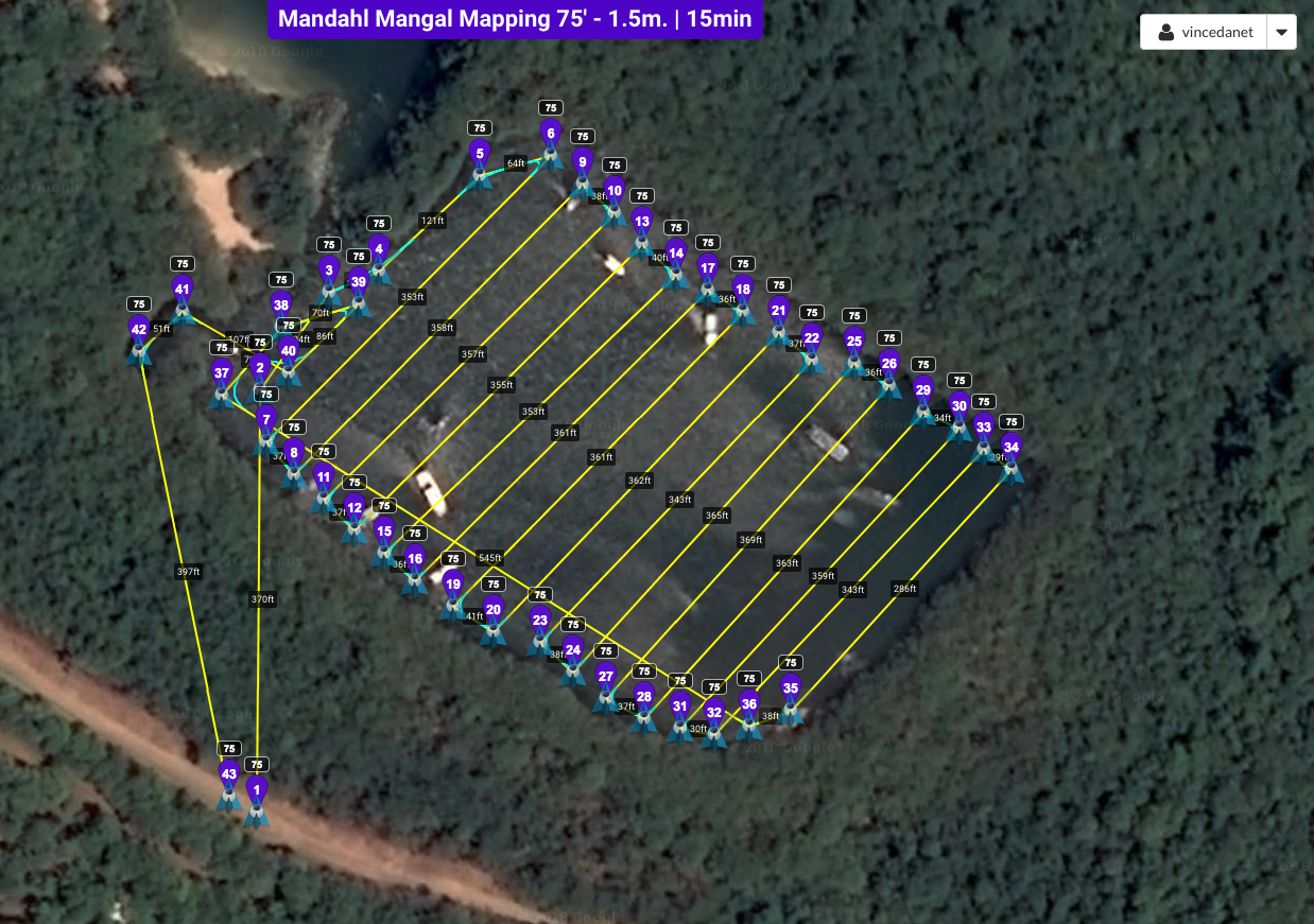
ClimateChangeVI.org Eco-system Conditions Drone Flights are launched quarterly at Mandahl Bay.
The solstices and equinoxes mark the traditional change of seasons. On these dates we conduct drone-based aerial surveys of the Mandahl Bay APC Wilderness Preserve.
Additionally, monthly training and research missions are conducted with Environmental Rangers enrolled in the SEER (Science, Education, Exploration & Research) program.
Recorded in 4K resolution utilizing professional FAA-registered drone services, these videos provide a comparative library of Eco-system changes and wildlife presence over time.
Initial Training Flights: May 24, 2017.
Project Initiation Date: June 21, 2017.
[Videos in this project are copyrighted and licensed commercial property and may only be shared as part of this post and with credits intact. All other use prohibited without written consent of ClimateChangeVI.org]
Day Two of the 2019 Vernal (Spring) Equinox Mandahl Drone Flights
[smartslider3 slider=5]
Day One of the 2019 Vernal (Spring) Equinox Mandahl Drone Flights
[smartslider3 slider=6]
