↓
 
  • ABOUT US
  • ECO-YOUTH
    • CAMP UMOJA
    • ENVIRONMENTAL RANGERS
      • Environmental Heritage S.E.E.R. Program
  • WILDERNESS LIBRARY
  • PROJECTS
    • CAMPGROUND PROJECTS
    • COMMUNITY OUTREACH
      • Camp Umoja Stellar Observatory
    • RESEARCH PROJECTS
      • MANDAHL BAY APC WILDERNESS PRESERVE 360 Underwater Cam
      • MANDAHL BAY APC WILDERNESS PRESERVE Aerial Eco-System Survey
  • SUPPORT CAMP UMOJA

Climate Change V.I.

Climate Change V.I.→Tags Drone flight

Tag Archives: Drone flight

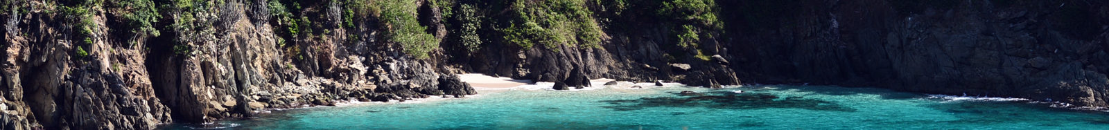
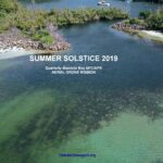
SUMMER SOLSTICE 2019: Quarterly Mandahl Bay APC/APR Aerial Drone Mission

Climate Change V.I.

These images and videos, taken during Summer Solstice 2019, are part of ClimateChangeVI.org’s Quarterly Aerial Survey of the Mandahl Bay Area of Particular Concern and Area for Preservation and Restoration’s beach, salt pond and lagoon. … Continue reading →

Posted in Aerial Observations, Quarterly Aerial Survey, Quarterly Overflights - Mandahl, RESEARCH PROJECTS | Tagged aerial survey, Drone flight, Drone mapping, mandahl bay, mangrove lagoon, tropical wetland, wetlands

Hurricane Dorian Mandahl Drone Flight

Climate Change V.I.

[smartslider3 slider=7] ~ August 29, 2019 The eye of Hurricane Dorian passed over St. Thomas on August 28, 2019 as a Category 1 storm. The following day, ClimateChangeVI.org launched drone flights over the Mandahl Bay … Continue reading →

Posted in Aerial Observations | Tagged aerial surviellance, Drone flight, Hurricane Dorian, Mandahl, mangrove, storm impact, Wetland
Afridrilles
@stepix412

Get Exclusive Music and Early Releases

Support ClimateChangeVI on Patreon
Become a patron at Patreon!
©2025 - Climate Change V.I. Privacy Policy
↑